High-Resolution Orthomosaic Mapping for Landowners, Hunters & Builders

RTK-Enhanced Accuracy
Advanced technology for consistent, high-quality mapping results you can rely on.
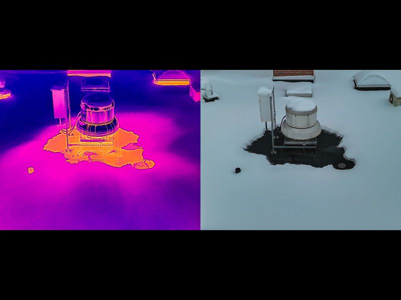
Thermal Mapping Add-on
Reveal heat patterns across your property to identify areas of recent activity and terrain features not visible in standard aerial maps.
Ideal for hunting land and wildlife insight.
Best captured during early morning or evening conditions.

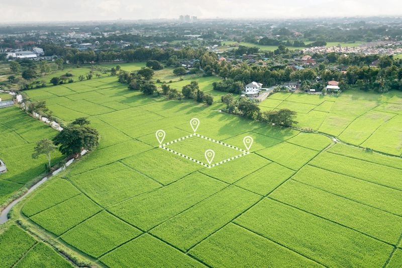
Custom Mapping Solutions
Tailored aerial maps designed around your property, goals, and how you plan to use the data.
Get high-resolution aerial maps delivered quickly so you can plan, scout, and make decisions without delay.

Clear, Usable Mapping Data
Receive clean, high-resolution maps that are easy to use for planning, scouting, and understanding your property.
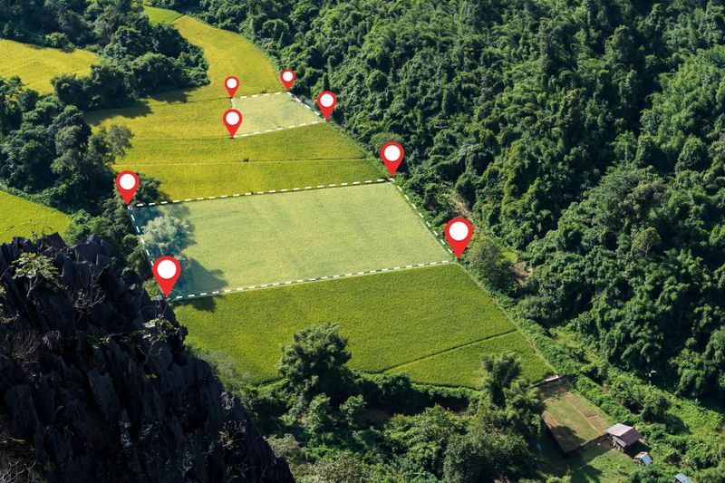
Get a detailed aerial map of your hunting property tailored for land management and hunt planning. We can overlay property borders, stand locations, food plots, trails, and other key features — giving you a clear, strategic view of your land before you ever set foot in the woods.