About Us: Strix Aerial's Journey to versatile Drone Photography & Imagery Services
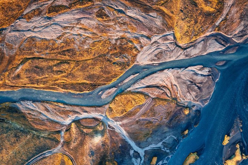
At Strix Aerial, we bring a unique edge to drone services—combining elite-level visual storytelling with advanced aerial technology.
Founder Justin Klumpp brings over a decade of experience in network television production, including Emmy-winning work as a director at ESPN. That background shapes everything we do—from attention to detail and shot composition to capturing imagery that tells a clear, purposeful story.
Today, that same level of precision is applied to real-world drone applications—especially aerial property mapping and thermal imaging. We specialize in creating high-resolution maps that help landowners, hunters, and property managers better understand and use their land.
Thermal capabilities add another layer of insight, revealing heat patterns and activity that aren’t visible through standard aerial imagery.
One of our core services is drone deer recovery throughout the Driftless Region and surrounding areas of Wisconsin. As a lifelong hunter, Justin understands the frustration of losing a blood trail or being unable to recover a harvest. Our mission is to use thermal technology to help recover what would otherwise be lost.
In addition to mapping and recovery, we offer select aerial services including real estate photography and project documentation—always with a focus on quality, reliability, and real-world value.
We’re FAA Part 107 certified, fully insured, and committed to professionalism in every flight.
Strix Aerial — Precision. Perspective. Results.
Working with Strix Aerial was a game-changer for our real estate listings. Their aerial shots of our properties showcased them in a way we never thought possible. We saw a 30% increase in inquiries after just one listing!Sarah Johnson
As a wedding planner, I wanted something unique for my clients. Strix Aerial provided breathtaking drone footage that captured every moment beautifully. My clients were thrilled with the results, and I've already recommended them to several others!Jessica Ramirez
We hired Strix Aerial for our promotional video, and they exceeded our expectations. The breathtaking aerial views added a dynamic element that engaged our audience. It helped boost our social media engagement by over 50%.Michael Lee
I used Strix Aerial for a corporate event, and their professionalism was top-notch. The footage was stunning, and they managed to capture the atmosphere perfectly. We’ve received rave reviews!David Chen
I was thoroughly impressed with Strix Aerial. Their innovative approach to aerial media gave us a fresh perspective that really stood out. A top-notch team!Mariah K.
The images from Strix Aerial were nothing short of spectacular. They took the time to understand our vision for the project, and the results were outstanding. I can't wait to work with them again!Emma Wilson